
Paso de las Nubes Crossing
It is necessary to divide it in two days. In the first stage you reach the Agostino Rocca Refuge where you can find the “Paso de la Nubes”. After staying overnight in the refuge, continue to Frias Lake from where you take the boat that takes you back to Puerto Pañuelo in front of the Hotel Llao-Llao (Bariloche).
THE TICKETS MUST BE BOUGHT AT TURISUR IN ADVANCE. We don’t sell the tickets at the refuge.
FIRST
DAY
Take this detour that goes to the right and after 700 meters you will reach Alerce river. The road continues always bordering the river, sometimes next to its shores and sometimes a little further. After 5km of walking, you will arrive to a bridge that cross the river. A few minutes later, and after skirting the mallín on the left, (you don’t wet your feet as before), the road begins little by little to climb with more slope, and without realizing you are already in the “snail” (rise with zigzag shape with steep slope).
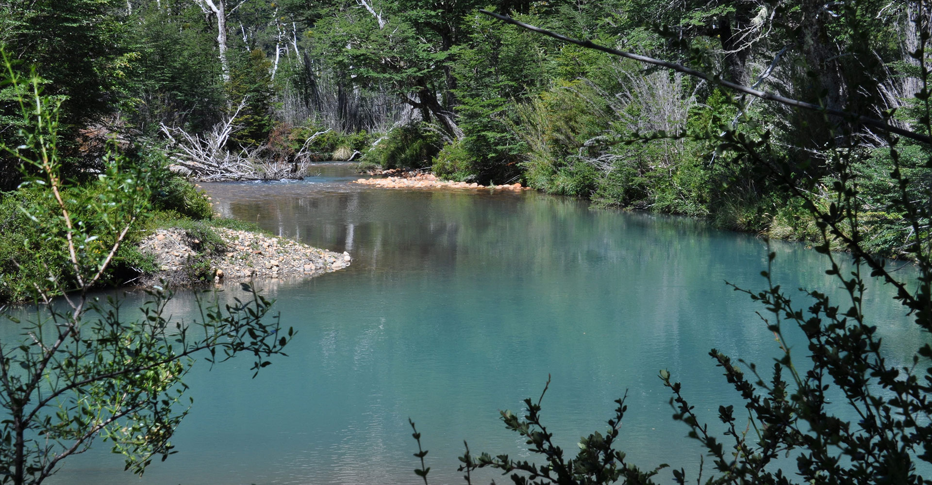
Crossing the mallín and following the marks that go up to the left in 5 minutes you will be in the Refuge.
Distance: 14 km
Slope: 710 meters above sea level.
Walking time:4 – 6hs
second day
You have to get up early as the return boat sails from Lago Frías at 2:30 p.m. The most convenient thing is to have breakfast in the early hours and leave to enjoy the tour that is 12 km long.
All the way is signposted and has signs that indicate the kilometers that you have already traveled: 00/12 – 01/12 – 02/12 – 03/12, etc. So you can go calculating times, enjoy the journey and get to the boat on time.
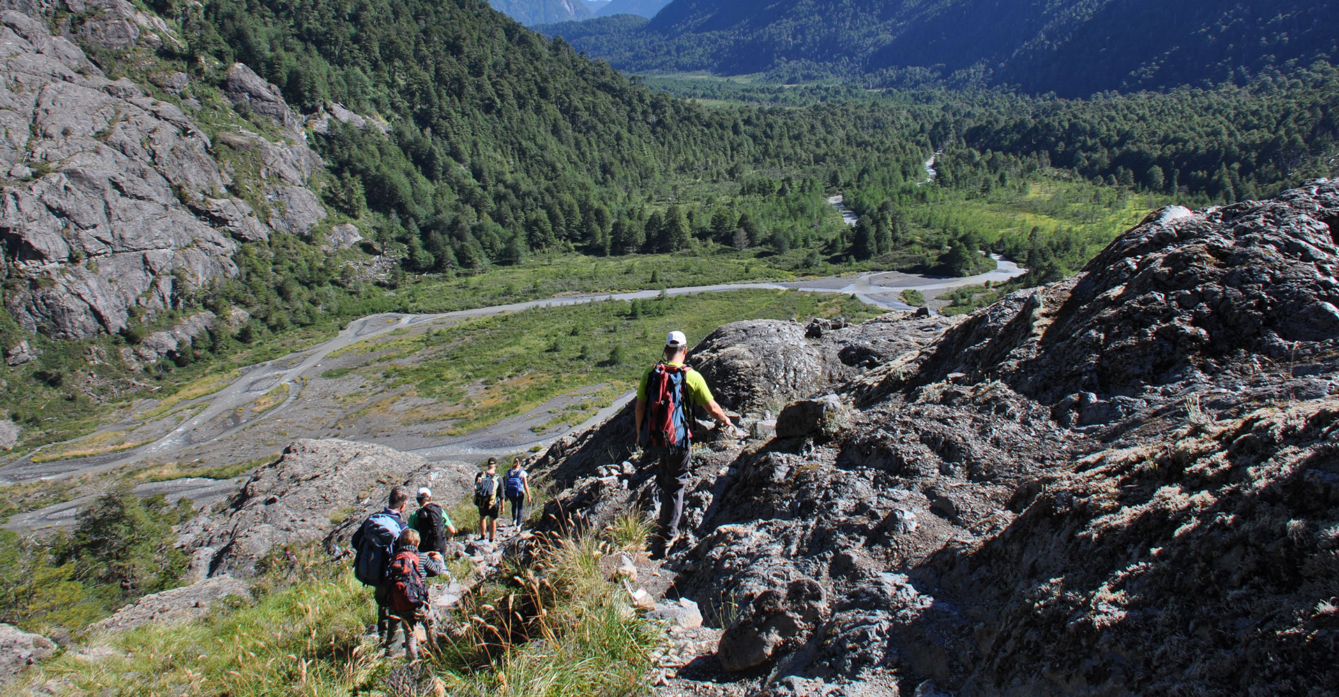
The road begins in the same refuge with a descent that crosses a beautiful lenga forest.
Arriving at the end of the descent you will go to some rocks from where you can see the front of the Frias glacier. Here begins a small stone path downhill and at the height of Km 4 you will reach the Frias River that drains from the glacier with an impressive view of it.
At Km 9 you will find a suspension bridge that crosses the Frías River and from here you have the last three kilometers that border the river along the left margin until you reach Puerto Frías.
Distance :12 km
Slope: the road always goes down or flat but never goes up
Walking time: 4 – 6hs YOU’RE GONNA TAKE THE SAME AMOUNT OF TIME IT TOOK YOU TO GET TO THE REFUGE.

It has the best facilities and amenities that can be found today in a mountain refuge.